I got to use the Avenza-hosted Reservation map for the first time onsite in early December 2023 while winter camping with a Scout troop. They needed basic map and compass tutoring, and adding the digital version in sequence reinforces the concepts.
This story is generally chronological for my one-day observations, by site.
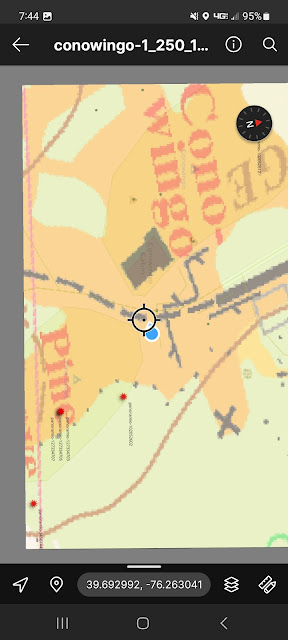
Conowingo / Pine Grove
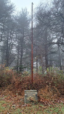
Flagpole and former memorial sign.
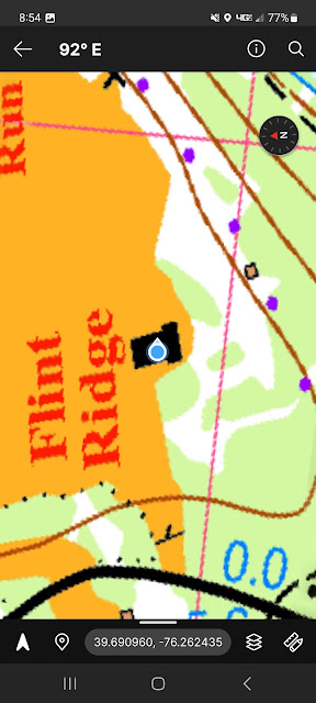
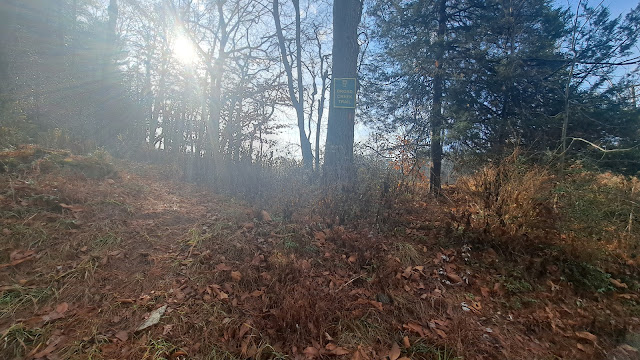
Flint Ridge
Latrine surveying. I walked around the pad, taking measurements and images with camera and the Avenza app. In the morning, the power level was at 86% and here shows 81%
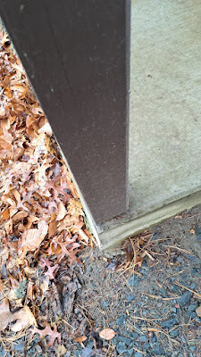
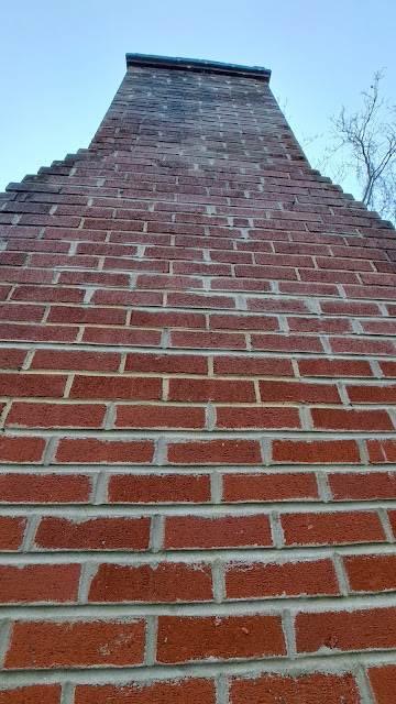
Chimney was photographed and geo-tagged. I was definitely *not* inside. Not 9AM yet and 77% power level.
The Dam and the Yellow Trail
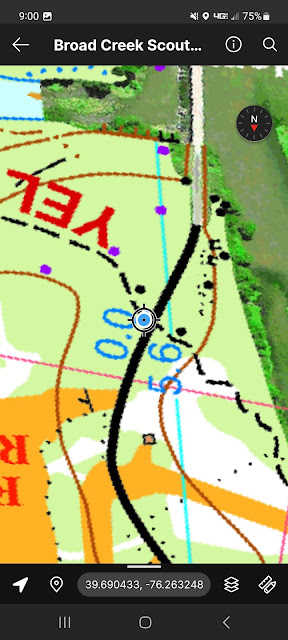
Turning on tracking and measuring a few hundred feet left battery at 72%.
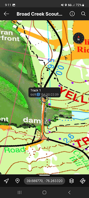
I did a track with Avenza, then viewed it later with Google Earth. Interesting.
Frontier
This site has only an official entrance across a bridged stream.
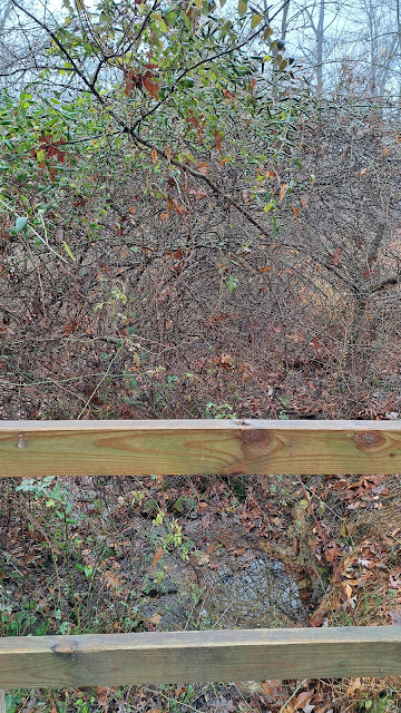
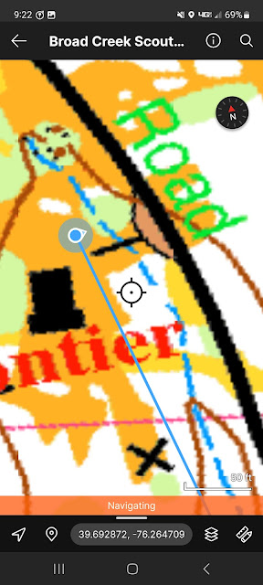
The blue line is a "get there from here" option. Straight line, probably helpful but not guaranteed a safe route! I was not on the bridge here.
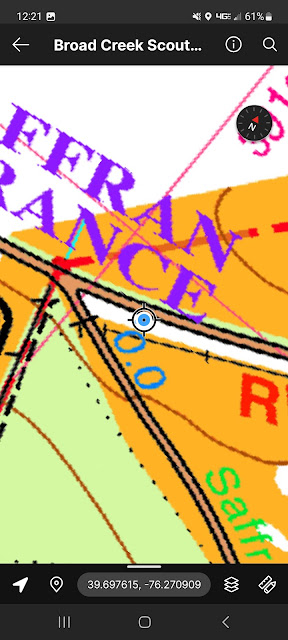
Red trail
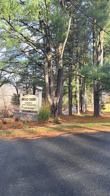
Camp entrance
I only posted two screen shots above, from between 10 am and 1PM; the battery level dropped from 70 to under 60%. When I returned to my tent I plugged in an external battery, and by 5PM the phone was back to 100%.
Et cetera
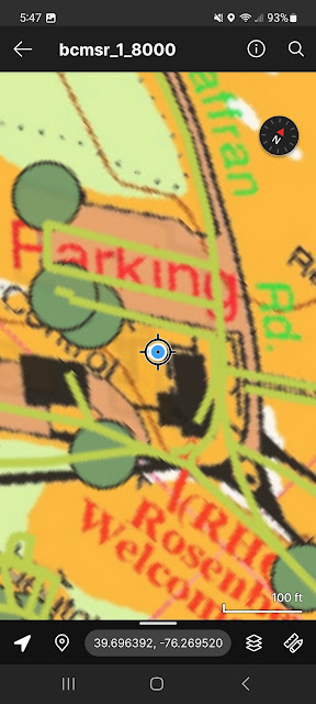
I experimented with a 1:8000 scale, 600 dpi geoPDF with both the official camp map and the unofficial OSM layer.
.
I needed to allow "all the time" location access to Avenza to have the "show a route" function work. Other operations usually work with allowing access "just the once," though often Avenza will claim "not on map" and I needed to stop/start the app. Maybe a bug.
The blue dot can dance around, showing where the app thinks you are, and shows a shrinking diameter as more satellite signals are locked in. My testing was partly the squiggles of the original transformed map image, the delay and aberrations of the Android device (iPhone testers needed too), and the time needed to get a "good enough" spot for a place on the earth.


No comments:
Post a Comment